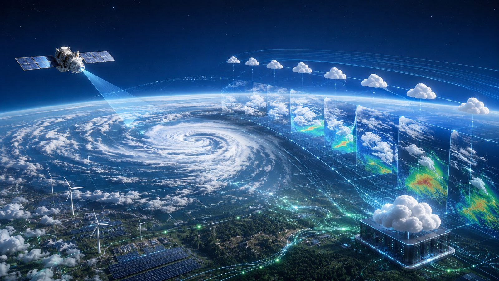

NEW DELHI, September 5, 2026, 5:03 p.m. IST — Google DeepMind and Google Research have released WeatherNext 3, an operational AI weather model that ingests low-latency satellite observations and initializes a new global forecast every hour.
The launch matters beyond consumer weather cards. Google is distributing WeatherNext 3 through BigQuery, Earth Engine, Google Cloud Storage and the Google Maps Platform Weather API, giving cloud and platform teams several ways to connect probabilistic weather data to energy, logistics, retail and reliability workflows. The model is also beginning to power weather experiences in Search, Gemini and Maps.
What Google confirmed
Google’s launch announcement says WeatherNext 3 uses live geostationary satellite mosaics to refresh forecasts every hour, rather than relying only on the six-hour analysis cycle used by many global forecasting systems. The model produces hourly surface predictions at 0.1-degree resolution, while a station-focused output can estimate temperature and dew point at roughly 0.05 degrees, or about five kilometres.
The accompanying research preprint describes a multi-resolution system. It predicts precipitation from satellite-derived observations, produces surface variables such as wind, solar radiation and cloud cover, and improves cyclone-specific forecasts over WeatherNext 2 in the authors’ tests. GravityDevOps covered Google’s earlier open-source WeatherNext Cyclones release in August; today’s release is distinct because it adds a new global model, hourly observation ingestion and managed cloud distribution. Because the new paper is a preprint authored by Google researchers, its benchmark results should be treated as research evidence rather than independent production validation.
Google points to Brightband’s Operational WeatherBench as an independent live comparison. Brightband’s published methodology includes WeatherNext 3 alongside physics-based and machine-learning systems and explains how forecasts are scored. The comparison has important boundaries: WeatherNext 3 is verified against the ECMWF analysis used to initialize it, and Brightband currently omits its precipitation output because the satellite-trained field is not directly comparable with the other products in the benchmark.
Cloud access is available, but the products are not interchangeable
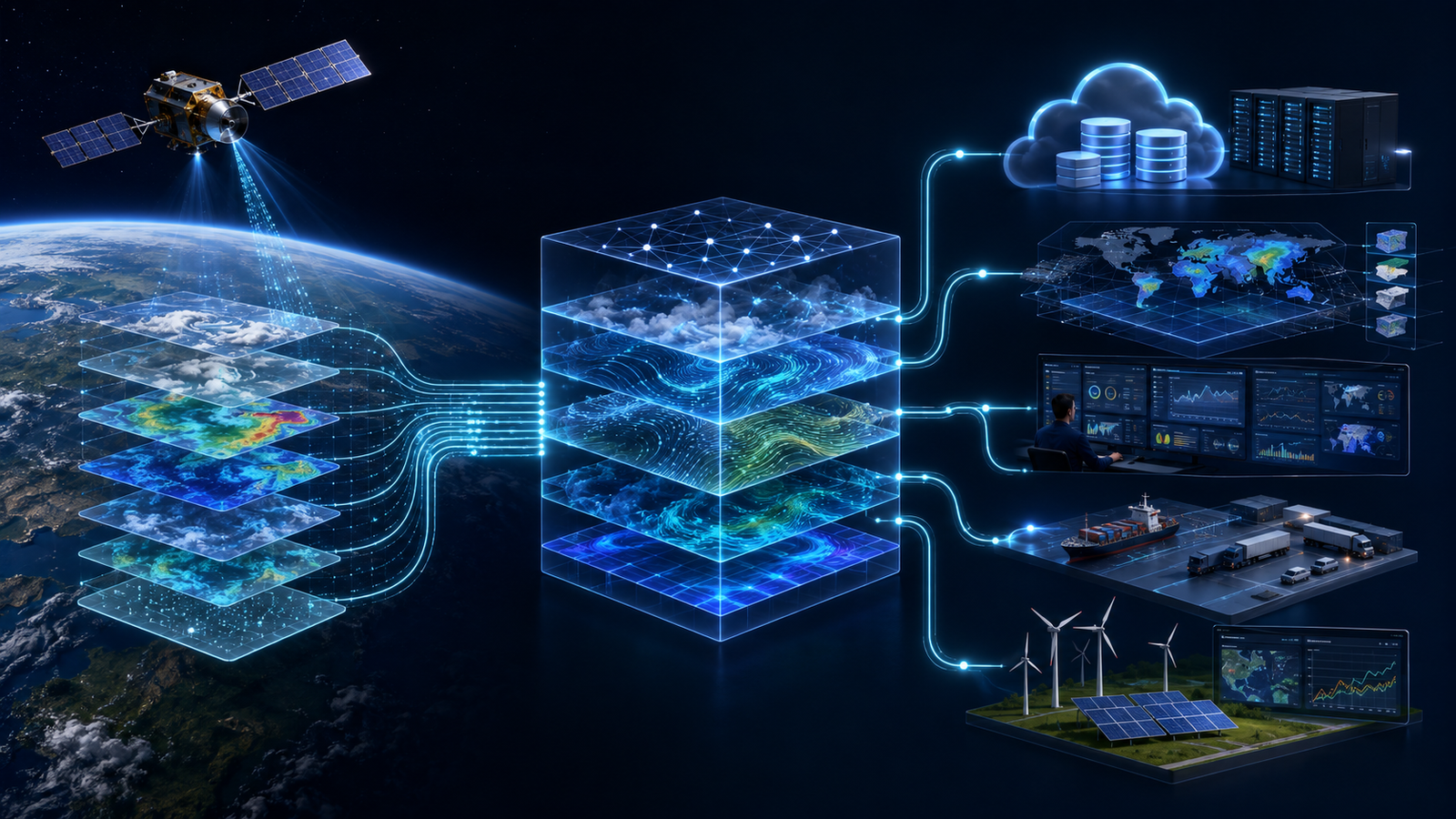
For data teams, Google’s new BigQuery listing exposes precomputed ensemble statistics that can be joined to facilities, routes or other geospatial business data. The 0.1-degree table contains 19 gridded surface variables across mean and percentile fields. The 0.05-degree table contains station-calibrated temperature and dew-point statistics. Full 64-member ensembles and three-dimensional atmospheric fields are available in Zarr format through Cloud Storage.
The longer forecast horizon reaches 15 days from the main six-hour initialization cycles. Interim hourly runs extend to 48 hours. Google says access requests for the BigQuery listing are typically reviewed within five to seven business days, so this is not yet a frictionless public endpoint for every workload.
Earth Engine offers an experimental publisher dataset for geospatial analysis. Its catalog entry explicitly warns that the operational dataset’s accuracy may not match the research model described in the paper. That distinction matters for teams building service-level objectives or regulated decision systems from the data.
The Google Maps Platform Weather API is a different product. It provides processed current conditions and hourly and daily forecasts using a blend of WeatherNext and traditional numerical weather prediction. Developers who need a simple application endpoint may prefer that interface; teams that need raw ensemble distributions, custom calibration or large geospatial joins will likely need BigQuery, Earth Engine or Cloud Storage.
What changes for developers and platform teams
Hourly initialization can reduce the age of the forecast input used by an application, but it also creates a faster-moving data dependency. Production consumers should version each decision against the forecast initialization time, valid time, model version and percentile used. Without that provenance, incident responders cannot reconstruct why an alert, route or energy bid changed.
Teams querying BigQuery should filter on the partitioned initialization-time field and select only the required variables. This reduces scan cost and prevents an apparently small geospatial query from reading many global forecast cycles. Pipelines should also detect delayed or missing forecast runs, enforce freshness thresholds and retain a fallback source.
Probabilistic outputs deserve different application logic from a single best estimate. A warehouse operator might use a high precipitation percentile for risk alerts while a solar planner may compare several radiation percentiles before committing capacity. Platform teams should evaluate calibration by geography, season, lead time and operational outcome rather than adopt a global accuracy headline as a service-level guarantee.
The same discipline applies to model updates. Treat WeatherNext data as a versioned production dependency, with shadow evaluation, threshold reviews and rollback paths. GravityDevOps readers building these controls can also use the site’s guides to LLMOps, retrieval-augmented systems and CI/CD tooling as starting points for provenance, testing and release automation.
A forecast input, not an emergency authority
WeatherNext 3 expands the options available to developers, but it does not remove atmospheric uncertainty. Google labels the Earth Engine data experimental, and Brightband’s methodology shows why comparisons depend on variables, verification targets and lead times. Local observations and national meteorological agencies remain the authoritative sources for watches, warnings and emergency decisions.
The practical opportunity is narrower and more useful: fresher global forecasts, higher-resolution surface fields and cloud-native access can improve operational models when teams preserve uncertainty, provenance and fallback paths. The release makes AI weather data easier to integrate; it does not make weather-dependent systems safe by default.
Sources
This report draws on Google’s launch announcement, the WeatherNext 3 research preprint, Google’s BigQuery and Earth Engine documentation, Google Maps Platform product documentation, and Brightband’s independent benchmark methodology, all linked above.


